◈
Himalayas: north to south
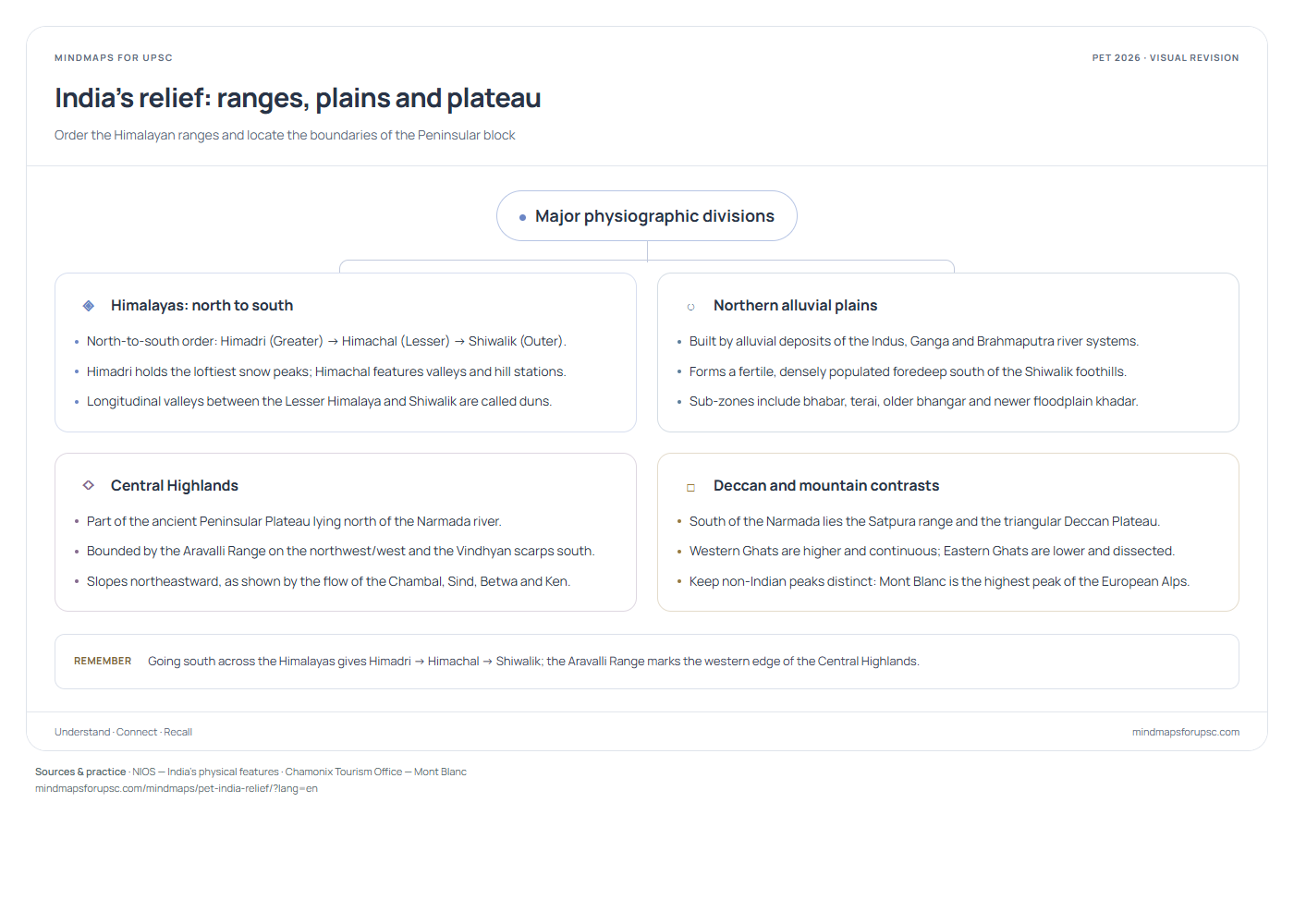
North-to-south order: Himadri (Greater) → Himachal (Lesser) → Shiwalik (Outer). Himadri holds the loftiest snow peaks; Himachal features valleys and hill stations. Longitudinal valleys between the Lesser Himalaya and Shiwalik are called duns.
○
Northern alluvial plains
Built by alluvial deposits of the Indus, Ganga and Brahmaputra river systems. Forms a fertile, densely populated foredeep south of the Shiwalik foothills. Sub-zones include bhabar, terai, older bhangar and newer floodplain khadar.
◇
Central Highlands
Part of the ancient Peninsular Plateau lying north of the Narmada river. Bounded by the Aravalli Range on the northwest/west and the Vindhyan scarps south. Slopes northeastward, as shown by the flow of the Chambal, Sind, Betwa and Ken.
□
Deccan and mountain contrasts
South of the Narmada lies the Satpura range and the triangular Deccan Plateau. Western Ghats are higher and continuous; Eastern Ghats are lower and dissected. Keep non-Indian peaks distinct: Mont Blanc is the highest peak of the European Alps. Remember Going south across the Himalayas gives Himadri → Himachal → Shiwalik; the Aravalli Range marks the western edge of the Central Highlands.
◈
हिमालय: उत्तर से दक्षिण
उत्तर से दक्षिण का सही क्रम: हिमाद्रि (महान हिमालय) → हिमाचल (लघु हिमालय) → शिवालिक (बाह्य हिमालय)। हिमाद्रि में सर्वोच्च हिमाच्छादित शिखर हैं; हिमाचल श्रेणी अपनी घाटियों और पर्वतीय नगरों के लिए प्रसिद्ध है। लघु हिमालय और शिवालिक के बीच की अनुदैर्ध्य घाटियाँ दून कहलाती हैं।
○
उत्तरी जलोढ़ मैदान
इसका निर्माण सिंधु, गंगा और ब्रह्मपुत्र नदी तंत्रों द्वारा लाए गए जलोढ़ निक्षेपों से हुआ है। यह शिवालिक की तलहटी के दक्षिण में विस्तृत, अत्यंत उपजाऊ और सघन आबादी वाला मैदान है। इसकी प्रमुख पट्टियों में भाबर, तराई, पुराना जलोढ़ 'बांगर' और नवीन बाढ़कृत 'खादर' शामिल हैं।
◇
मध्य उच्च-भूमि
नर्मदा नदी के उत्तर में स्थित प्रायद्वीपीय पठार के भाग को 'मध्य उच्च-भूमि' (सेंट्रल हाईलैंड्स) कहते हैं। अरावली पर्वतमाला इसकी पश्चिमी/उत्तर-पश्चिमी सीमा बनाती है और विंध्य श्रेणी दक्षिण में स्थित है। चंबल, सिंध, बेतवा और केन नदियों का प्रवाह इसके दक्षिण-पश्चिम से उत्तर-पूर्व की ओर ढाल को दर्शाता है।
□
दक्कन और पर्वतों का अंतर
नर्मदा के दक्षिण में सतपुड़ा पर्वतमाला और त्रिभुजाकार दक्कन का पठार स्थित है। पश्चिमी घाट ऊँचे और सतत हैं, जबकि पूर्वी घाट कम ऊँचे तथा नदियों द्वारा कटे-छँटे हैं। विश्व की पर्वत श्रेणियों को अलग पहचानें: मोंट ब्लांक पश्चिमी यूरोप की 'आल्प्स' पर्वत शृंखला की सर्वोच्च चोटी है। याद रखें हिमालय में उत्तर से दक्षिण का क्रम हिमाद्रि → हिमाचल → शिवालिक है, और अरावली पर्वतमाला मध्य उच्च-भूमि की पश्चिमी सीमा बनाती है।
Practise this concept · संबंधित प्रश्न One visual, several questions. These links open the original paper at the matching question.
Sources & study notes · स्रोत Independent revision material, linked to the paper’s concepts. The question papers and answer-key status are available on OpenPYQ.