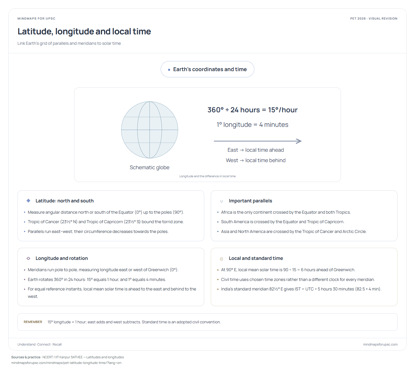
Earth's coordinates and time
Longitude and the difference in local timeSwipe sideways to explore the diagram.
◈
Latitude: north and south
- Measure angular distance north or south of the Equator (0°) up to the poles (90°).
- Tropic of Cancer (23½° N) and Tropic of Capricorn (23½° S) bound the torrid zone.
- Parallels run east–west; their circumference decreases towards the poles.
○
Important parallels
- Africa is the only continent crossed by the Equator and both Tropics.
- South America is crossed by the Equator and Tropic of Capricorn.
- Asia and North America are crossed by the Tropic of Cancer and Arctic Circle.
◇
Longitude and rotation
- Meridians run pole to pole, measuring longitude east or west of Greenwich (0°).
- Earth rotates 360° in 24 hours: 15° equals 1 hour, and 1° equals 4 minutes.
- For equal reference instants, local mean solar time is ahead to the east and behind to the west.
□
Local and standard time
- At 90° E, local mean solar time is 90 ÷ 15 = 6 hours ahead of Greenwich.
- Civil time uses chosen time zones rather than a different clock for every meridian.
- India's standard meridian 82½° E gives IST = UTC + 5 hours 30 minutes (82.5 × 4 min).
पृथ्वी के निर्देशांक और समय
देशांतर से स्थानीय समय का अंतरआरेख देखने के लिए दाएँ-बाएँ खिसकाएँ।
◈
अक्षांश: उत्तर और दक्षिण
- ये भूमध्य रेखा (0°) से उत्तर या दक्षिण में ध्रुवों (90°) तक कोणीय दूरी मापती हैं।
- कर्क रेखा (23½° उ.) और मकर रेखा (23½° द.) उष्ण कटिबंध की उत्तरी व दक्षिणी सीमाएँ हैं।
- अक्षांश रेखाएँ पूर्व–पश्चिम में फैली होती हैं; ध्रुवों की ओर उनकी परिधि घटती है।
○
प्रमुख अक्षांश रेखाएँ
- अफ्रीका एकमात्र ऐसा महाद्वीप है जिससे भूमध्य रेखा, कर्क रेखा और मकर रेखा—तीनों गुजरती हैं।
- दक्षिणी अमेरिका से भूमध्य रेखा और मकर रेखा गुजरती हैं (कर्क रेखा नहीं)।
- एशिया और उत्तरी अमेरिका से कर्क रेखा तथा आर्कटिक वृत्त गुजरते हैं।
◇
देशांतर और घूर्णन
- याम्योत्तर रेखाएँ ध्रुव से ध्रुव तक जाती हैं और ग्रीनविच (0°) से पूर्व या पश्चिम में देशांतर मापती हैं।
- पृथ्वी 24 घंटे में 360° घूमती है: अतः 15° देशांतर = 1 घंटा और 1° देशांतर = 4 मिनट होता है।
- एक ही संदर्भ क्षण पर स्थानीय माध्य सौर समय पूर्व में आगे और पश्चिम में पीछे रहता है।
□
स्थानीय और मानक समय
- 90° पू. पर स्थानीय माध्य सौर समय ग्रीनविच से 90 ÷ 15 = 6 घंटे आगे है।
- नागरिक समय में हर देशांतर की अलग घड़ी के बजाय निर्धारित समय-क्षेत्र अपनाए जाते हैं।
- भारत की मानक याम्योत्तर 82½° पू. है, जिससे भारतीय मानक समय (IST) ग्रीनविच से 5 घंटे 30 मिनट आगे है।
Practise this concept · संबंधित प्रश्न
One visual, several questions. These links open the original paper at the matching question.
Sources & study notes · स्रोत
Independent revision material, linked to the paper’s concepts. The question papers and answer-key status are available on OpenPYQ.